Turn field and plant data into decisions.
Farm Flow is two things at once. We are business consultants who sit down with your operators and find where data can remove risk and cost — and the software developers who then build the tools that do it: dashboards, data pipelines, ML models, and drone-based data capture.
 01 / ENVIRONMENTAL
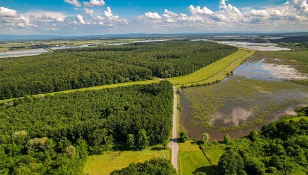
I manage sites & water
Storm water, wetlands, water resources, GIS — monitoring and reporting that survives an inspection.
Take me there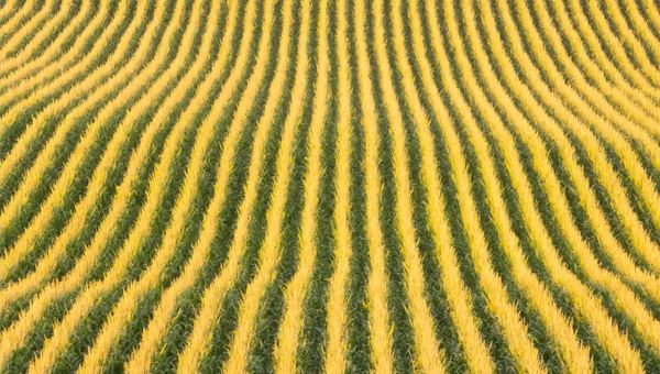 02 / AGRI-BUSINESS
I run a farm operation
Large corn & soy operations — one dashboard for fields, inputs, equipment, markets, and deadlines.
Take me there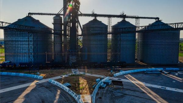 03 / MANUFACTURING
I run a plant or line
Digital twins, data architecture, predictive maintenance — see the process before it sees a problem.
Take me thereConsultants first, then the build
Most firms sell you a tool and hope it fits. We work the other way around — understand the operation, then build only what earns its place.
Find where data removes risk and cost
We sit down with your operators, learn how the work actually happens, and map exactly where measured data can take out rework, downtime, and guesswork — before anyone writes a line of code. You get a clear picture of what's worth building and what isn't.
Then we build the tools that do it
Dashboards, data pipelines, machine-learning models, and drone-based data capture — designed around your process and deployed to your team. We are the data and software layer that sits on top of the work you already do, and we support it after launch.
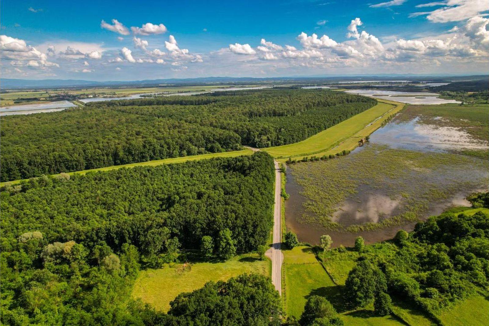
Watch the water, map the land, prove it on paper
Drones and dashboards that turn site conditions into monitoring, mapping, and reporting your team can hand to anyone who asks. We are the data and software layer — not your permitting firm.
Storm water management
Track discharge points, monitor site conditions after rain events, and generate clean, timestamped storm water data reports — so inspections stop being a scramble.
Learn moreWetlands
Multispectral and thermal flights map vegetation, moisture, and change over time, so wetland delineations and monitoring are backed by measured imagery, not memory.
Learn moreWater resources
Shoreline, channel, and catchment change tracked flight over flight, with elevation and volume figures your engineers can drop straight into their models.
Learn moreGIS mapping
Georeferenced orthomosaics and layered GIS mapping — built for Indiana sites and beyond — that plug into the systems your team already uses to plan and report.
Learn moreHave a storm water reporting headache? Let's talk.
Talk to us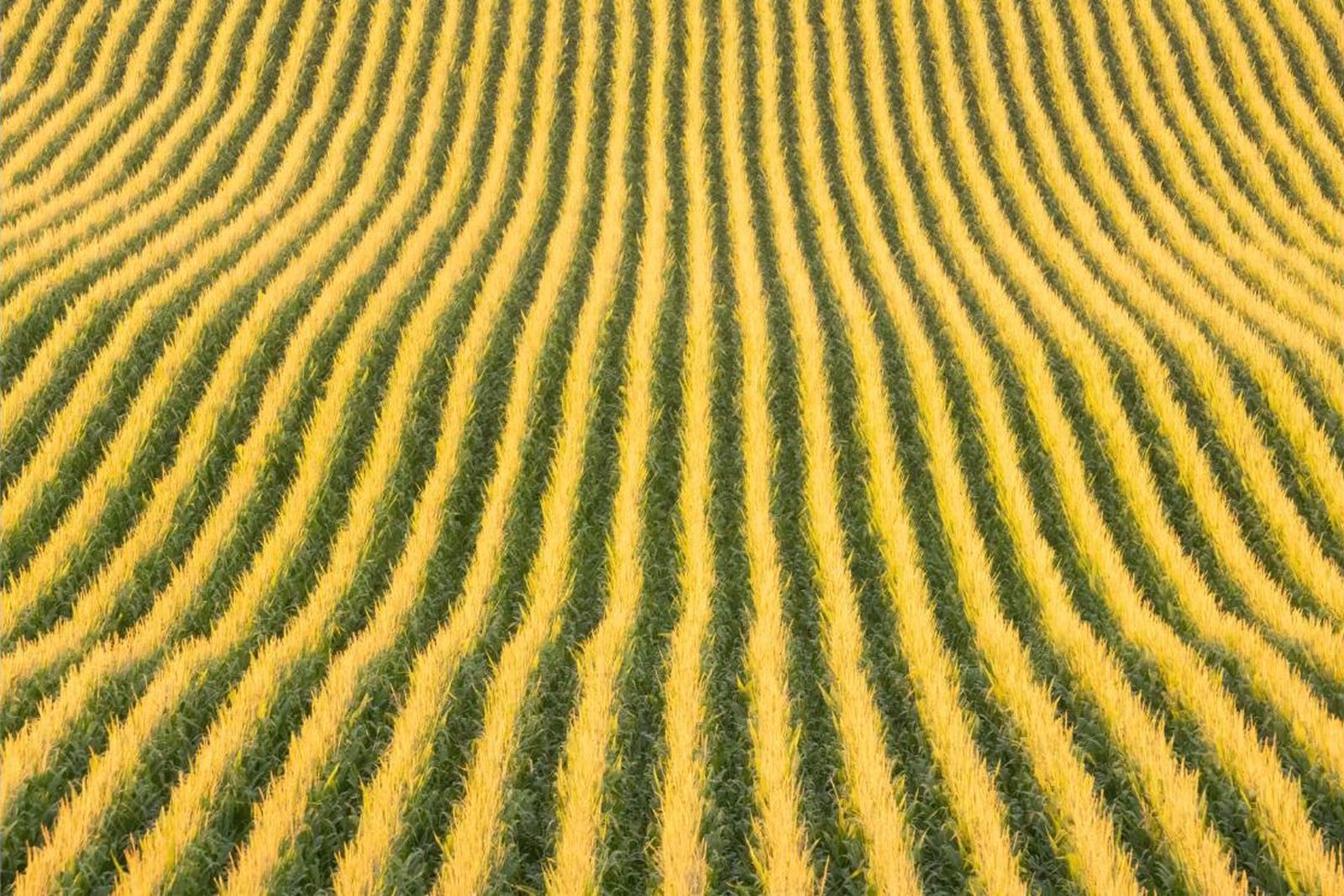
Run the operation on your own numbers
Built from products already in the field: a full operations dashboard for large corn and soy farms, plus drone survey and analytics that ground every decision in measured data.
Family Farm Dashboard
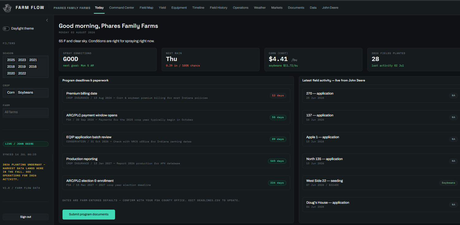
Built for large corn and soy operations: field records, input costs, yield history, equipment activity, and program deadlines in one place — decisions grounded in your own numbers, field by field, season by season.
Learn moreDrone survey + analytics
Multispectral and thermal flights read crop stress, moisture, and stand issues by zone — weeks before they show from the road — and land in an analytics dashboard your agronomist can act on.
Learn moreFarm operations intelligence
Equipment feeds, weather, markets, and paperwork deadlines pulled into one view, so the office sees slippage and spray windows the day they matter — not at the end of the season.
Learn moreRunning a large corn or soy operation? See it on your own fields.
Talk to us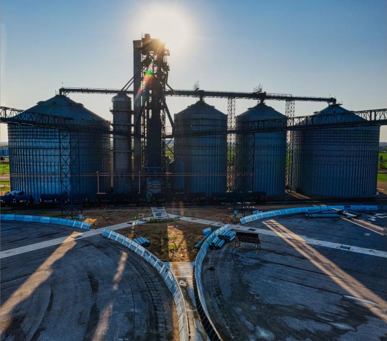
See the process before it sees a problem
A live digital picture of the plant — vessel by vessel, sensor by sensor — so operators catch drift early and engineers plan against measured reality, not a spec sheet.
Digital twins
A live software model of your line — vessels, flows, and sensors — that mirrors the plant in real time, so you can see drift, test changes, and train operators without touching production.
Learn moreData architecture
The pipelines, storage, and models underneath it all — historian feeds, quality records, and ERP data unified into one clean, queryable layer your team and ours can build on.
Learn morePredictive maintenance
Machine-learning models watch vibration, temperature, and cycle data to flag equipment heading for failure — so maintenance is scheduled on evidence, not on a fixed calendar or a breakdown.
Learn moreChasing an intermittent fault or planning a line? Let's model it.
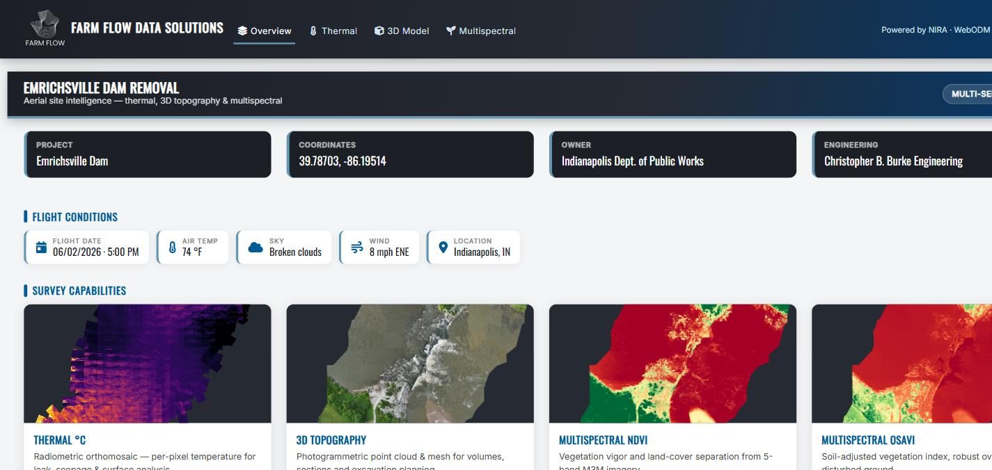
Talk to usThe tools, running on real sites
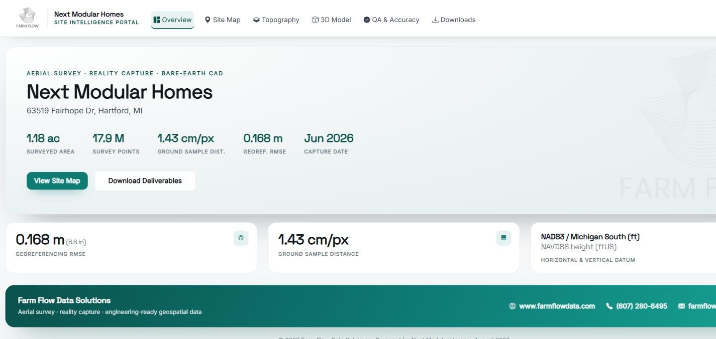
Not mockups. These are working dashboards we built and deployed. Two are public — open them and click around.
Three steps, no black boxes
Listen
We spend time with your operators and your data to pinpoint exactly where measurement removes the most risk and cost.
Prototype
We build a working dashboard or model against your real data — fast — so you can see the value before committing to the full thing.
Deploy & support
We put it in your team's hands, fold in drone capture and pipelines as needed, and stay on to maintain and extend it.
Tell us what's costing you
Describe what you're trying to measure, manage, or predict. We respond within one business day.